
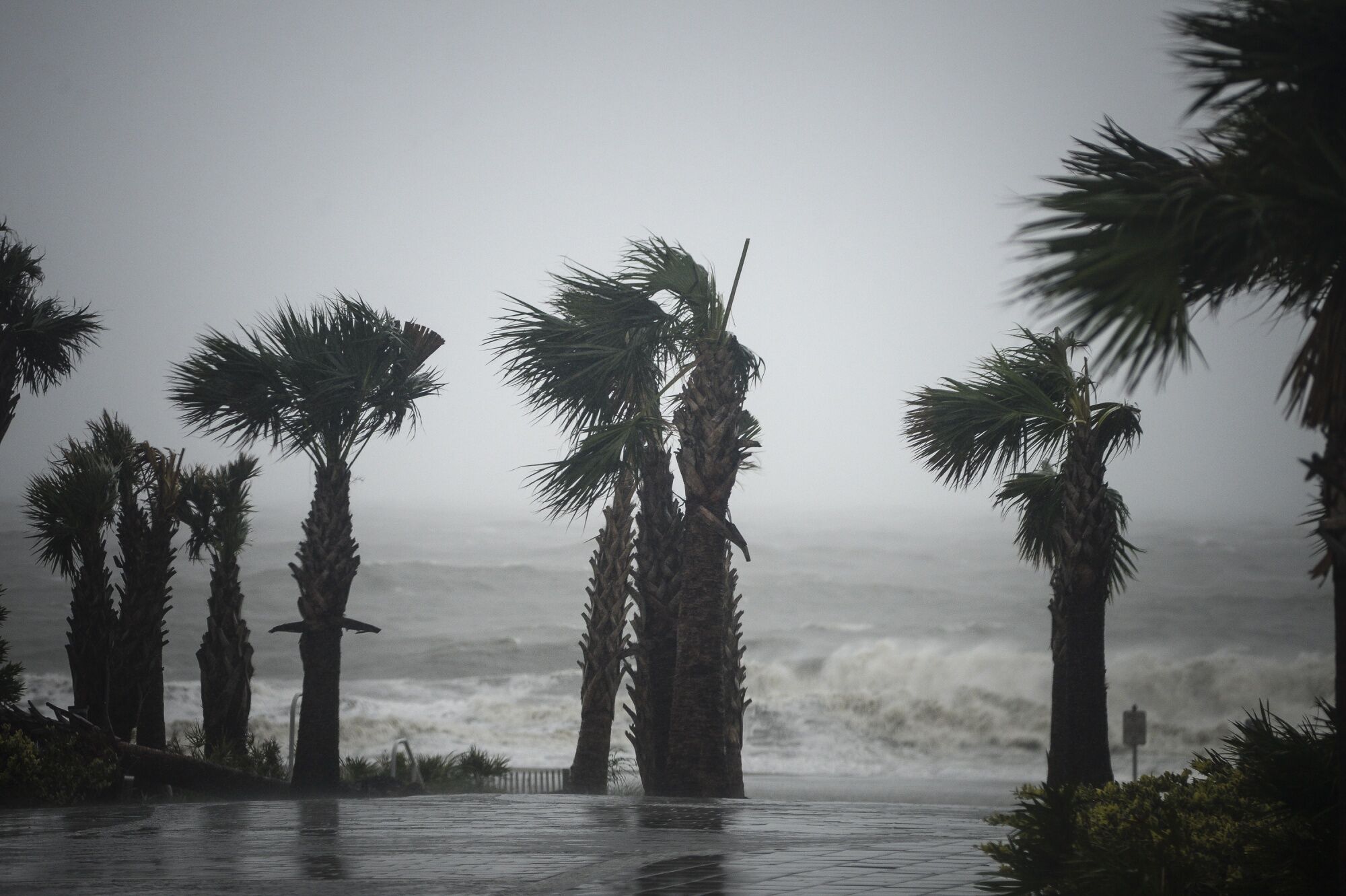
(Bloomberg) — Tropical Storm Cristobal will sweep ashore late Sunday in southern Louisiana, where more than more than a third of offshore energy production has halted, but the rains have already reached far inland across the U. S. South.
With winds holding steady for the last day at 50 miles (80 kilometers) per hour, the South is bracing for wind, storm surge and flooding rains as Cristobal comes ashore and eventually moves up the Mississippi River Valley to the Midwest and Canada, according to the National Hurricane Center.
Stretched out by larger weather patterns, Cristobal’s core doesn’t have the fury of a better-organized storm and some of its worst impact could come far from the center of its forecast track.
“The impacts to the east and northeast of its center are really extending hundreds of miles away,” said Dan Pydnynowski, a meteorologist with AccuWeather Inc. “Rain is definitely the main threat here.
There is some wind to deal with, minimal surge, but by far the rain is going to be the main impact.”
On its current track, Cristobal will pass through the eastern side of U. S. offshore energy installations, where some companies have already evacuated non-essential workers. The storm will then likely slam into Louisiana some time after 6 p.m. Sunday, Pydynowski said.
Parts of extreme southern Louisiana have ordered mandatory evacuations.
President Donald Trump said he will sign an emergency declaration, which helps free up federal funds and resources.
Damage Estimate
Its disorganized shape will rob it of much of its power, keeping damage to about $200 million at the high end, said Chuck Watson, a disaster modeler with Enki Research in Savannah, Georgia. Coastal areas and rivers will flood, trees will be toppled and power lines brought down.
“Once it moves inland, the winds will die down quickly,” Pydynowski said. “Later tomorrow when it gets to Arkansas and eventually Missouri, it will accelerate northward and then northeastward.”
Offshore platforms account for 16% of U.
S. crude oil production and 2.4% of natural gas output, according to the Energy Department. Additionally, more than 45% of U. S. refining capacity and 51% of gas-processing capacity is located along the Gulf coast.
Across the Gulf, 185 platforms have been evacuated, shutting down 34.3% of crude output and 32.4% of natural gas production there, according to the U. S. Bureau of Safety and Environmental Enforcement.
Rain Spreads North
The U.
S. crude complex has also come under pressure, with the storm potentially affecting logistics in the Gulf and causing a backup of supplies, according to market participants.
After moving north through Louisiana, Cristobal will transition to a more typical continental storm and drag a tail of heavy rain through the central U. S. By the middle of next week it will probably be over Chicago.
From 3 to 5 inches (8 to 13 centimeters) of rain could fall across a large swath of the Mississippi Valley in the next few days, and parts of Canada could get 2 inches or more, according to the U.
S. Weather Prediction Center.
As the storm moves north, the winds will die down and it will pick up speed, eventually merging with another system coming out of the west, Pydynowski said. The two will then move northeast out of the Midwest and could become a potent system that sweeps across Lake Superior — but it won’t be a tropical storm by then.
Cristobal is the third storm to form in the Atlantic this year, marking the fastest start to hurricane season on record.
(Updates with production 10th paragraph.)
For more articles like this, please visit us at bloomberg.com
©2020 Bloomberg L.
P.